Aerial Inspection
Close, safe views of what is hard to reach, without ladders, lifts or guesswork.
- Roofs & storm damage
- Infrastructure & industrial
- Insurance & claims documentation
- Construction progress
Middle Georgia · Statewide
Aerial inspections, land mapping, thermal imaging and media that gets noticed, flown by FAA-certified pilots on commercial-grade equipment. Clear data, reliable execution, mission-focused results.
Services
From inspecting a roof to documenting a 200-acre tract, every flight starts with a clear objective and ends with deliverables you can actually use.
Close, safe views of what is hard to reach, without ladders, lifts or guesswork.
Turn aerial imagery into a working view of your land, site or structure.
See surface temperature patterns that ordinary photos can't show.
Planned, disciplined flights for media, events and response support.
Share the service, location, timeline and how you plan to use the finished work.
We review site access, airspace and flight conditions, then confirm scope and quote before scheduling.
Receive the agreed photos, video, maps, thermal imagery or 3D outputs in a format that fits your project.
About us
Guardian Drone Solutions LLC was founded to close the gap between hobby drone work and true professional operations. We fly commercial-grade equipment with FAA-certified pilots for real estate, construction, agriculture, inspections, emergency response and commercial media.
The company is owned and operated by Trey Yaun and Ian Russell, who stay directly involved in every mission. When you work with Guardian, you work with the owners who plan, fly and deliver your project.
Every flight has a clear objective and commercial-grade sensors to meet it.
You know what we're doing, when, and why it matters, from first call to delivery.
Prepared, disciplined operations on residential, commercial and emergency work.
Equipment & fleet
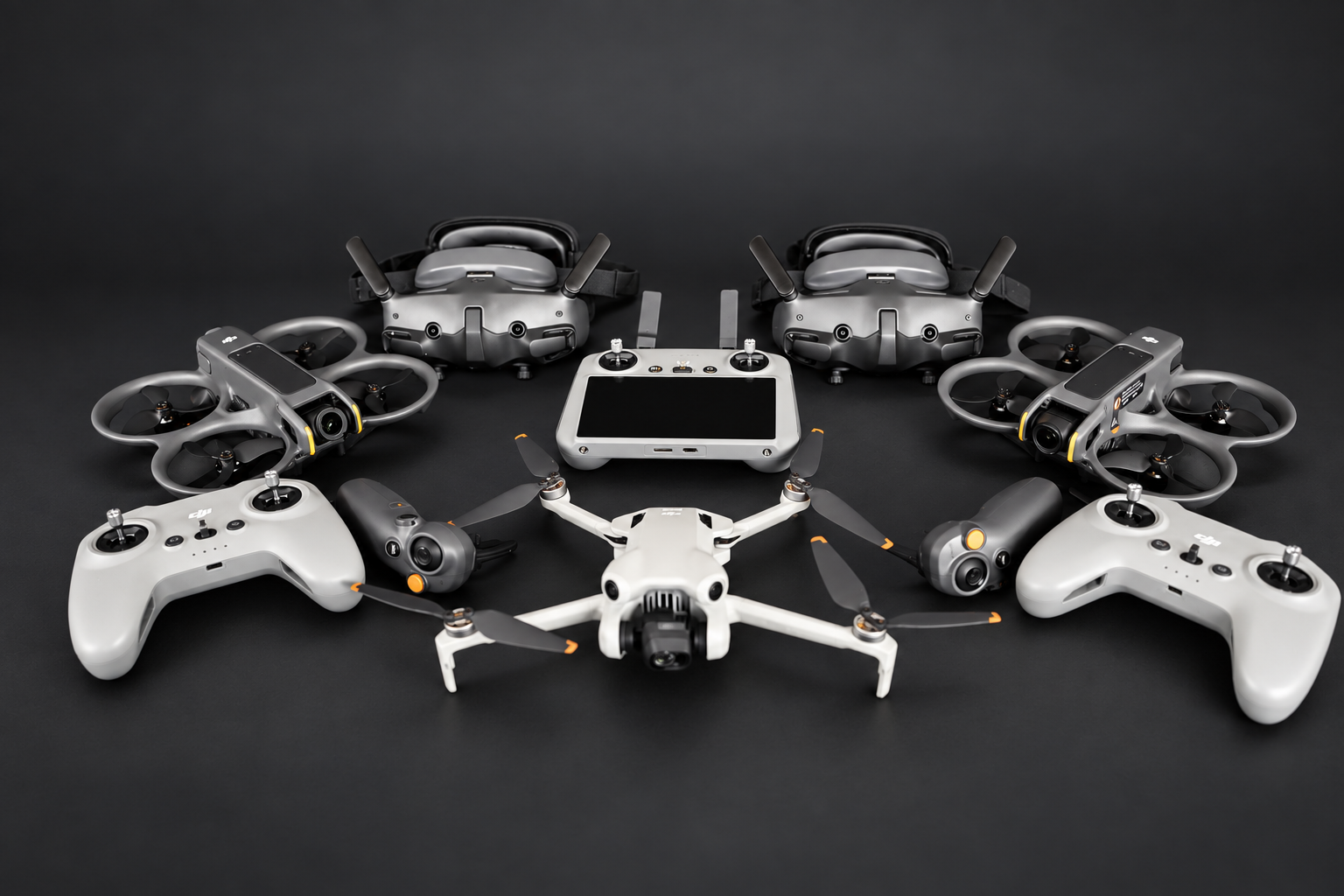
We don't fly hobby drones. Each mission is matched to the platform and payload that produces usable data: sharper visuals, cleaner maps, safer flights.
Payload and platform are confirmed for each job during planning, based on site, airspace, weather and deliverables.
Service areas
Most missions are within a 1.5 to 2 hour radius of Warner Robins. We travel statewide when the project scope and urgency make sense.
Not seeing your area? Ask us.
FAQ
Yes. Guardian Drone Solutions LLC is fully licensed and insured, and family-owned and veteran-owned, so you can expect disciplined operations and clear communication on every mission.
Our equipment matches what surveyors, engineers, inspectors and production crews rely on. That means sharper visuals, cleaner data, safer flights, and results you can use for decisions, claims or marketing.
Spotting what you can't see with the naked eye: roof damage, moisture intrusion, insulation gaps, heat loss, irrigation problems, electrical hot spots and water damage. It's common for inspections, maintenance planning and insurance documentation.
Yes. We provide pre- and post-loss roof documentation, thermal scans, high-resolution photos and 4K video to support claims and restoration work.
Yes. Long-range thermal and high-zoom imaging let us search efficiently, even at night or in dense terrain. Search support depends on availability, site access, weather and flight conditions. For an active emergency, call 911 first.
HDR interior and exterior photos, aerial images, cinematic listing videos, short-form social reels, twilight photography and full premium listing packages.
Start a mission
Share the service, location and timing. Include property size or the type of content you need, and we'll recommend the right approach, without upselling.
Call478-744-1530 Emailmissions@gdsops.comSearch support depends on availability, site access, weather and flight conditions. For an active emergency, call 911 first.
Your is in our mission queue. One of the owners will reach out shortly, usually the same business day.
Clear data. Reliable execution. Mission-focused results.